If you are a keen caravaner then there are few things more important than the directions that are going to get you from A to B. In these days of GPS, googlemaps and the like, we have become slaves to technology, but in an earlier era, an accurate map was a Godsend.
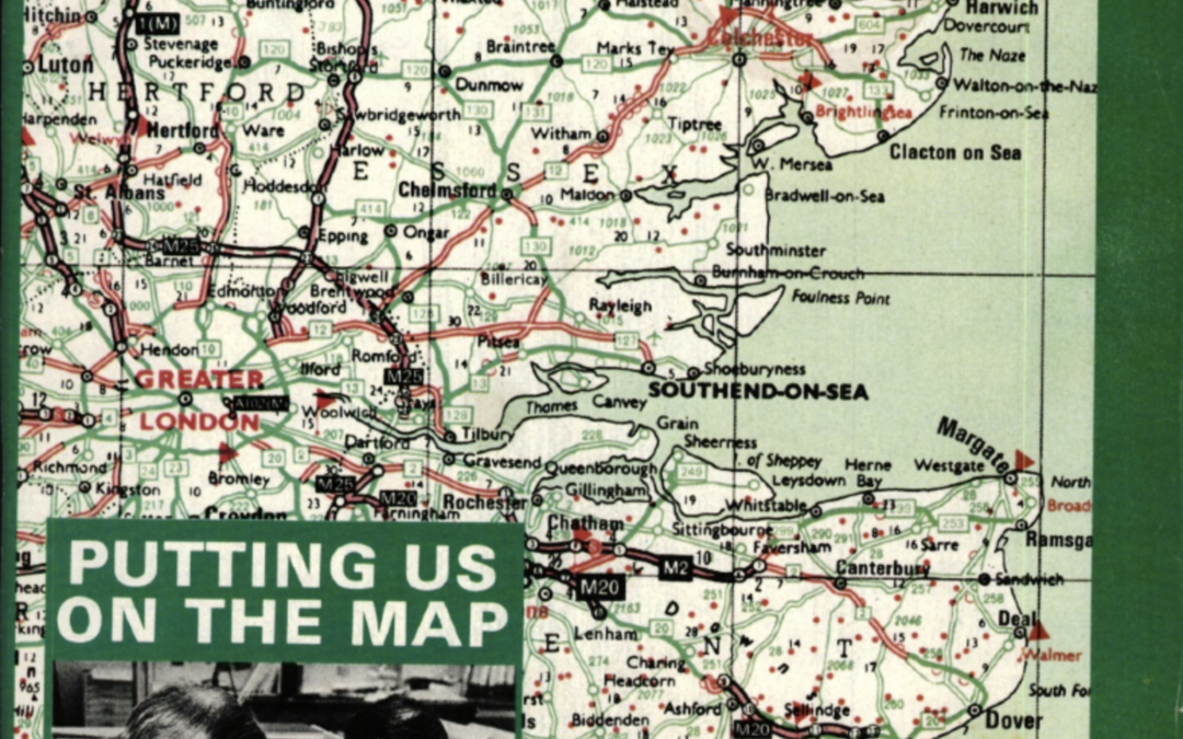
Geographia were map makers to the Caravan Club and in its April 1983 edition, En Route went to find out how they got the job done. Among the innovations that Geographia included in the Caravan Club’s maps was to identify lay-bys of over 100 yards in length, an essential bit of info if you are in a motorhome or towing a caravan. There was also an “Avoid London” schematic plan to keep caravans clear of the capital, “particularly when en route to the ports”.
There’s plenty more fascinating information on the thinking behind the maps of old here.